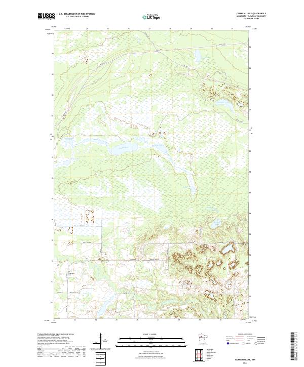
2022 Map of Gurneau Lake
USGS Topo · Published 2022About this map
The Clearwater River flows through the southern portion of this landscape, a region defined by an extensive network of wetlands and a sequence of numerically named water bodies including First Lake, Second Lake, Fourth Lake, Fifth Lake, Sixth Lake, and Seventh Lake. These lakes are connected by the winding path of Butcher Knife Creek, which meanders through the central terrain. Human presence is marked by a series of reservation roads, such as Resvn Hwy 33 and Resvn Hwy 3, which provide access through the swampy lowlands. For those researching local family history, the Clearwater Cem is a significant landmark situated west of the river. The map illustrates a largely undeveloped wilderness area where drainage patterns and marshland dictate the local geography, punctuated by namesake features like Gurneau Lake and Blue Lake.
Find a feature on this map
34 named features on this map. Tap any name to fly to it.
Don’t see what you’re looking for? This feature index may not catch every label — zoom into the map to look around manually.
Map Details
Editions of this 2022 Gurneau Lake Map
This is the sole edition of this map. No revisions or reprints were ever made.
Other maps of this area

1919 · Solway
USGS Topo · 1:62,500

1919 · Churnes
USGS Topo · 1:62,500

1943 · Solway
USGS Topo · 1:62,500

1943 · Bagley
USGS Topo · 1:62,500

1954 · Bemidji
USGS Topo · 1:250,000

1957 · Bemidji
USGS Topo · 1:250,000

1958 · Bemidji
USGS Topo · 1:250,000

1969 · Clearbrook
USGS Topo · 1:24,000

1969 · Leonard
USGS Topo · 1:24,000

1972 · Bagley Lake
USGS Topo · 1:24,000