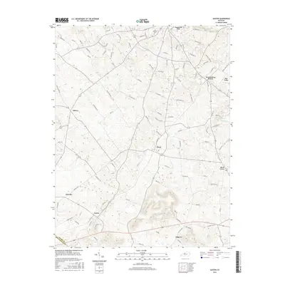
2016 Map of Guston
USGS Topo · Published 2016About this map
Ekron and Guston anchor this portion of Meade County, where the landscape transitions from the developed corridors of the north to the more open agricultural lands of the south. The proximity of Brandenburg Station and the residential area of Doe Valley highlights the growth extending from the county seat toward the sinkhole-pocketed terrain that defines much of this region. Local history is grounded in sites like the Cap Anderson Cem and small communities such as Midway and Buck Grove. The survey also documents the divide between counties, tracing the Meade Co Breckinridge Co boundary in the southwest corner. Transportation networks are well-defined, with numerous family-named roads like Bud Wilson Rd and Berryman Rd providing access to the scattered farmsteads and rural crossroads like Hillgrove and Haysville.
Find a feature on this map
99 named features on this map. Tap any name to fly to it.
Don’t see what you’re looking for? This feature index may not catch every label — zoom into the map to look around manually.
Map Details
Editions of this 2016 Guston Map
This is the sole edition of this map. No revisions or reprints were ever made.
Other maps of this area

1928 · Hardinsburg
USGS Topo · 1:48,000

1931 · Hardinsburg
USGS Topo · 1:62,500

1931 · Corydon
USGS Topo · 1:62,500

1941 · Ekron
USGS Topo · 1:62,500

1946 · Rock Haven
USGS Topo · 1:24,000

1947 · Irvington
USGS Topo · 1:24,000

1947 · Garfield
USGS Topo · 1:24,000

1947 · Mauckport
USGS Topo · 1:24,000

1947 · Hardinsburg
USGS Topo · 1:62,500

1947 · Ekron
USGS Topo · 1:62,500