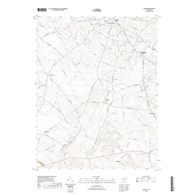
2019 Map of Guston
USGS Topo · Published 2019About this map
The northern edge of Brandenburg and its surrounding residential extensions like Eastwood Hills anchor this Meade County landscape. The area transitions from the more densely settled northern corridor near Brandenburg Station into a patchwork of rural hamlets and agricultural lands to the south. Small, established communities like Ekron, Guston, and Hillgrove are linked by a network of local roads including Old State Rd and Brandenburg Rd, reflecting a settlement pattern centered on these historical crossroads.
Find a feature on this map
118 named features on this map. Tap any name to fly to it.
Don’t see what you’re looking for? This feature index may not catch every label — zoom into the map to look around manually.
Map Details
Editions of this 2019 Guston Map
This is the sole edition of this map. No revisions or reprints were ever made.
Other maps of this area

1928 · Hardinsburg
USGS Topo · 1:48,000

1931 · Hardinsburg
USGS Topo · 1:62,500

1931 · Corydon
USGS Topo · 1:62,500

1941 · Ekron
USGS Topo · 1:62,500

1946 · Rock Haven
USGS Topo · 1:24,000

1947 · Irvington
USGS Topo · 1:24,000

1947 · Garfield
USGS Topo · 1:24,000

1947 · Mauckport
USGS Topo · 1:24,000

1947 · Hardinsburg
USGS Topo · 1:62,500

1947 · Ekron
USGS Topo · 1:62,500