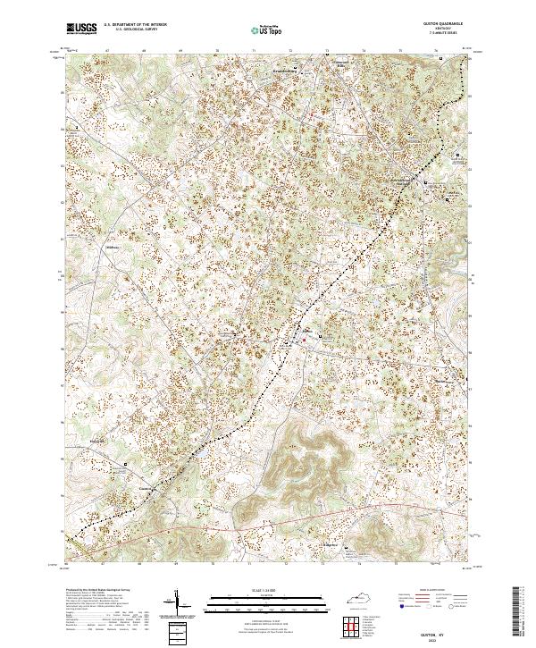
2022 Map of Guston
USGS Topo · Published 2022About this map
The northern Meade County landscape is defined by the proximity of Brandenburg to the winding corridors of the Doe Run drainage. This 2022 survey captures a transition from the denser residential areas of Eastwood Hills and Brandenburg Station to the smaller rural hamlets of Ekron, Guston, and Midway. The area is particularly dense with community foundations, featuring numerous burial grounds and congregations such as the Salem Baptist Church Cem and the Weldon Christian Church Cem.
Find a feature on this map
140 named features on this map. Tap any name to fly to it.
Don’t see what you’re looking for? This feature index may not catch every label — zoom into the map to look around manually.
Map Details
Editions of this 2022 Guston Map
This is the sole edition of this map. No revisions or reprints were ever made.
Other maps of this area

1928 · Hardinsburg
USGS Topo · 1:48,000

1931 · Hardinsburg
USGS Topo · 1:62,500

1931 · Corydon
USGS Topo · 1:62,500

1941 · Ekron
USGS Topo · 1:62,500

1946 · Rock Haven
USGS Topo · 1:24,000

1947 · Irvington
USGS Topo · 1:24,000

1947 · Garfield
USGS Topo · 1:24,000

1947 · Mauckport
USGS Topo · 1:24,000

1947 · Hardinsburg
USGS Topo · 1:62,500

1947 · Ekron
USGS Topo · 1:62,500