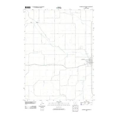
2010 Map of Guthrie Center West
USGS Topo · Published 2010About this map
The South Raccoon River carves a diagonal path through this Guthrie County landscape, defining the topography west of the county seat. In the eastern portion of the survey, the city of Guthrie Center serves as a local hub, featuring the Guthrie Center Post Office and the Guthrie Center Municipal Airport. To the northwest, the small settlement of Wichita remains a point of interest for genealogists, particularly with the nearby Wichita Cemetery situated along Hickory Ave.
Find a feature on this map
43 named features on this map. Tap any name to fly to it.
Don’t see what you’re looking for? This feature index may not catch every label — zoom into the map to look around manually.
Map Details
Editions of this 2010 Guthrie Center West Map
This is the sole edition of this map. No revisions or reprints were ever made.
Other maps of this area

1952 · Panora
USGS Topo · 1:62,500

1954 · Bagley
USGS Topo · 1:62,500

1954 · Omaha
USGS Topo · 1:250,000

1957 · Omaha
USGS Topo · 1:250,000

1958 · Omaha
USGS Topo · 1:250,000

1971 · Coon Rapids South
USGS Topo · 1:24,000

1971 · Bayard
USGS Topo · 1:24,000

1971 · North Branch
USGS Topo · 1:24,000

1971 · Casey
USGS Topo · 1:24,000

1971 · Guthrie Center West
USGS Topo · 1:24,000