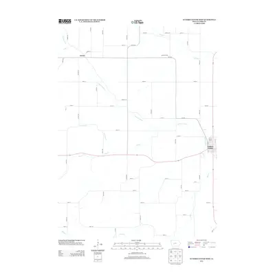
2013 Map of Guthrie Center West
USGS Topo · Published 2013About this map
Guthrie Center serves as the focal point for this section of Guthrie County, situated where the western edge of the town meets the undulating terrain of central Iowa. The landscape is defined by the winding course of the S Raccoon River, which is fed by numerous tributaries including Seely Cr, Lone Grove Cr, and Frost Cr. This hydrographic network historically dictated the placement of early road corridors and crossings. The small settlement of Wichita sits in the northwestern corner, appearing here as a rural crossroads north of the river. Agriculture remains the dominant footprint on the land, evidenced by the Menefee Feedlot and a dense grid of secondary roads such as Harvest Trl and Indigo Ave. The map reflects a modern rural economy still deeply tied to the specific drainage patterns and fertile valleys of the Raccoon River watershed.
Find a feature on this map
51 named features on this map. Tap any name to fly to it.
Don’t see what you’re looking for? This feature index may not catch every label — zoom into the map to look around manually.
Map Details
Editions of this 2013 Guthrie Center West Map
This is the sole edition of this map. No revisions or reprints were ever made.
Other maps of this area

1952 · Panora
USGS Topo · 1:62,500

1954 · Bagley
USGS Topo · 1:62,500

1954 · Omaha
USGS Topo · 1:250,000

1957 · Omaha
USGS Topo · 1:250,000

1958 · Omaha
USGS Topo · 1:250,000

1971 · Coon Rapids South
USGS Topo · 1:24,000

1971 · Bayard
USGS Topo · 1:24,000

1971 · North Branch
USGS Topo · 1:24,000

1971 · Casey
USGS Topo · 1:24,000

1971 · Guthrie Center West
USGS Topo · 1:24,000