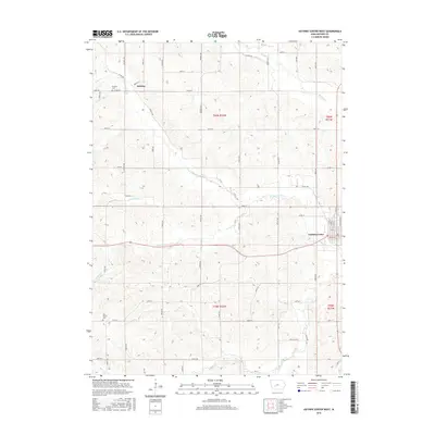
2015 Map of Guthrie Center West
USGS Topo · Published 2015About this map
Guthrie Center serves as the primary hub in this central Iowa landscape, positioned at the edge of a terrain defined by the winding course of the S Raccoon River. The town's grid of residential streets, including N 2nd St and N 5th St, gives way to the vast agricultural sections of Valley Township. To the northwest, the small settlement of Wichita marks a local crossroads near the Wichita Cem, while Bear Grove Cem provides a genealogical touchstone for families in the southwestern portion of the quadrangle.
Find a feature on this map
59 named features on this map. Tap any name to fly to it.
Don’t see what you’re looking for? This feature index may not catch every label — zoom into the map to look around manually.
Map Details
Editions of this 2015 Guthrie Center West Map
This is the sole edition of this map. No revisions or reprints were ever made.
Other maps of this area

1952 · Panora
USGS Topo · 1:62,500

1954 · Bagley
USGS Topo · 1:62,500

1954 · Omaha
USGS Topo · 1:250,000

1957 · Omaha
USGS Topo · 1:250,000

1958 · Omaha
USGS Topo · 1:250,000

1971 · Coon Rapids South
USGS Topo · 1:24,000

1971 · Bayard
USGS Topo · 1:24,000

1971 · North Branch
USGS Topo · 1:24,000

1971 · Casey
USGS Topo · 1:24,000

1971 · Guthrie Center West
USGS Topo · 1:24,000