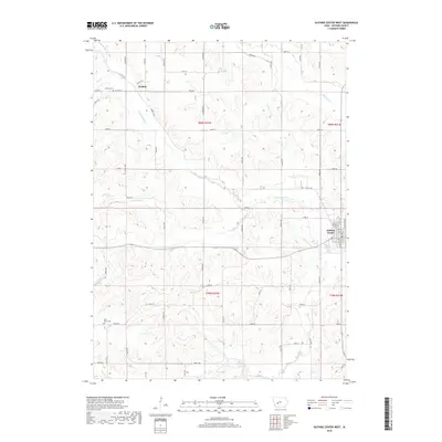
2018 Map of Guthrie Center West
USGS Topo · Published 2018About this map
Guthrie Center occupies the eastern edge of this agricultural landscape, where the town grid meets the rolling drainages of the S Raccoon River. To the northwest, the small settlement of Wichita serves as a local landmark near the Wichita Cem, highlighting the deep-rooted rural community structure of Guthrie County. The area is defined by an intricate network of waterways, including Frost Cr, Brushy Cr, and Lone Grove Cr, which carve through the sectional farmland. This 2018 survey reveals the persistent importance of the county road system, with routes like Co RD n56 and Co RD n70 connecting isolated farmsteads and historic sites like the Bear Grove Cem. The map illustrates a modern rural economy still firmly organized around the traditional township and range lines of the American Midwest.
Find a feature on this map
60 named features on this map. Tap any name to fly to it.
Don’t see what you’re looking for? This feature index may not catch every label — zoom into the map to look around manually.
Map Details
Editions of this 2018 Guthrie Center West Map
This is the sole edition of this map. No revisions or reprints were ever made.
Other maps of this area

1952 · Panora
USGS Topo · 1:62,500

1954 · Bagley
USGS Topo · 1:62,500

1954 · Omaha
USGS Topo · 1:250,000

1957 · Omaha
USGS Topo · 1:250,000

1958 · Omaha
USGS Topo · 1:250,000

1971 · Coon Rapids South
USGS Topo · 1:24,000

1971 · Bayard
USGS Topo · 1:24,000

1971 · North Branch
USGS Topo · 1:24,000

1971 · Casey
USGS Topo · 1:24,000

1971 · Guthrie Center West
USGS Topo · 1:24,000