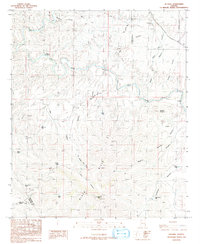
1986 Map of Guthrie
USGS Topo · Published 1992About this map
The Gila River and San Francisco River converge in this high-desert landscape during the mid-1980s, framing the small settlement of Guthrie and its nearby Cem. The terrain is dominated by the Black Hills, rising toward the prominent Guthrie Peak and Guthrie Mountain. This era of the region’s development is evidenced by the presence of an Open Pit Mine in Smuggler Canyon and several Radio Towers atop the high ridges.
Find a feature on this map
43 named features on this map. Tap any name to fly to it.
Don’t see what you’re looking for? This feature index may not catch every label — zoom into the map to look around manually.
Map Details
Editions of this 1986 Guthrie Map
2 editions found
Other maps of this area

1902 · Clifton
USGS Topo · 1:62,500

1913 · Morenci
USGS Topo · 1:125,000

1915 · Morenci
USGS Topo · 1:125,000

1954 · Silver City
USGS Topo · 1:250,000

1954 · Clifton
USGS Topo · 1:250,000

1957 · Clifton
USGS Topo · 1:250,000

1958 · Silver City
USGS Topo · 1:250,000

1958 · Clifton
USGS Topo · 1:250,000

1959 · York Valley
USGS Topo · 1:62,500

1960 · Guthrie
USGS Topo · 1:62,500