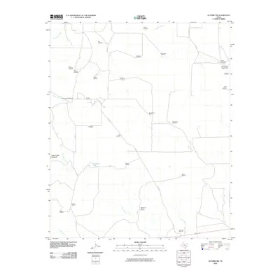
2010 Map of Guthrie NW
USGS Topo · Published 2010About this map
The Six Thousand Six Hundred and Sixtysix Ranch anchors this portion of King County, where water resources are the primary markers of the landscape. An extensive network of windmills, including the Gage Corner Windmill, Ogallala Windmill, and Double Long Canyon Windmill, illustrates the critical role of groundwater in sustaining cattle operations across this arid terrain. Seasonal drainage patterns are defined by the winding paths of Willow Creek, Saline Creek, and Long Canyon Creek, while localized catchments like Hackberry Tank provide vital stock water.
Find a feature on this map
37 named features on this map. Tap any name to fly to it.
Don’t see what you’re looking for? This feature index may not catch every label — zoom into the map to look around manually.
Map Details
Editions of this 2010 Guthrie NW Map
This is the sole edition of this map. No revisions or reprints were ever made.
Other maps of this area

1954 · Lubbock
USGS Topo · 1:250,000

1967 · Guthrie NW
USGS Topo · 1:24,000

1967 · Fourmile Hill
USGS Topo · 1:24,000

1968 · Grow
USGS Topo · 1:24,000

1968 · Pitchfork Ranch
USGS Topo · 1:24,000

1968 · Buffalo Creek
USGS Topo · 1:24,000

1968 · Dumont
USGS Topo · 1:24,000

1968 · Guthrie
USGS Topo · 1:24,000

1968 · East Afton NE
USGS Topo · 1:24,000

1968 · Pitchfork Flats
USGS Topo · 1:24,000