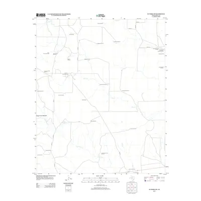
2012 Map of Guthrie NW
USGS Topo · Published 2012About this map
Windmills define the landscape of this northwest corner of King County, where water infrastructure is essential for the livestock operations of the expansive Six Thousand Six Hundred and Sixtysix Ranch. The map documents a specialized ranching economy through uniquely named landmarks like Boxcar Windmill, Hog Trap Windmill, and Tidewater Windmill. These features, alongside ephemeral water sources such as Hackberry Tank, reveal the strategic management of a semi-arid terrain. The drainage network, including Willow Cr and Long Canyon Cr, dictates the placement of these vital water stations. Local road systems like Co RD-111 and Co RD-200 connect the various camps and pens, providing a clear view of the rural infrastructure required to maintain one of the region's historic cattle empires in the early twenty-first century.
Find a feature on this map
42 named features on this map. Tap any name to fly to it.
Don’t see what you’re looking for? This feature index may not catch every label — zoom into the map to look around manually.
Map Details
Editions of this 2012 Guthrie NW Map
This is the sole edition of this map. No revisions or reprints were ever made.
Other maps of this area

1954 · Lubbock
USGS Topo · 1:250,000
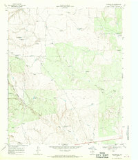
1967 · Guthrie NW
USGS Topo · 1:24,000
1967 · Fourmile Hill
USGS Topo · 1:24,000
1968 · Grow
USGS Topo · 1:24,000
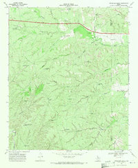
1968 · Pitchfork Ranch
USGS Topo · 1:24,000
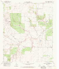
1968 · Buffalo Creek
USGS Topo · 1:24,000
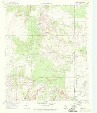
1968 · Dumont
USGS Topo · 1:24,000
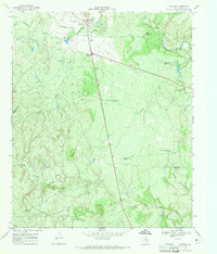
1968 · Guthrie
USGS Topo · 1:24,000
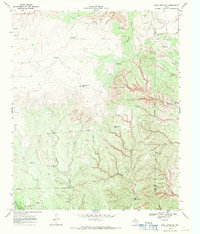
1968 · East Afton NE
USGS Topo · 1:24,000
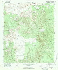
1968 · Pitchfork Flats
USGS Topo · 1:24,000