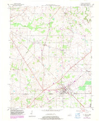
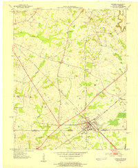
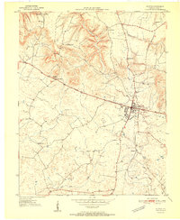
1950 Map of Guthrie
USGS Topo · Published 1983About this map
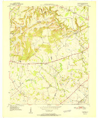
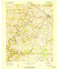
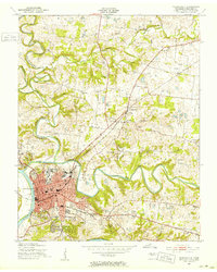
The town of Guthrie serves as a significant rail hub along the Kentucky Tennessee border, where the Seaboard Line tracks converge. This mid-century landscape is defined by its agricultural character and a network of small, scattered communities like Hadensville and Pinchem. The topography is shaped by several watercourses, including the westward-flowing Spring Creek and the meandering Elk Fork in the northeast corner. Cultural landmarks such as Lester Chapel, Pleasant Grove Ch, and the Warfield Sch are well-distributed across the quadrangle, reflecting the importance of rural social centers. Genealogists may find value in the specific locations of several unnamed Cem sites alongside established grounds like Highland Cem and Hermon Cem. A major Pipe Line cuts diagonally through the central fields, marking the modern infrastructure of the 1950s within this traditional farming region.
Find a feature on this map
24 named features on this map. Tap any name to fly to it.
Don’t see what you’re looking for? This feature index may not catch every label — zoom into the map to look around manually.
Map Details
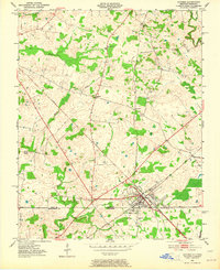
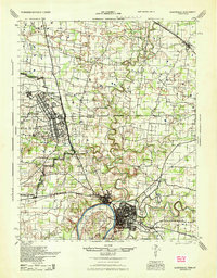
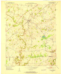
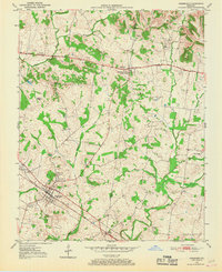
Editions of this 1950 Guthrie Map
3 editions found
Other maps of this area
1944 · Clarksville
USGS Topo · 1:50,000
1950 · Allensville
USGS Topo · 1:24,000
1950 · Guthrie
USGS Topo · 1:24,000
1950 · Pembroke
USGS Topo · 1:24,000
1950 · Olmstead
USGS Topo · 1:24,000
1951 · Pembroke
USGS Topo · 1:24,000
1951 · Elkton
USGS Topo · 1:24,000
1951 · Olmstead
USGS Topo · 1:24,000
1951 · Hammacksville
USGS Topo · 1:24,000
1951 · Clarksville
USGS Topo · 1:24,000