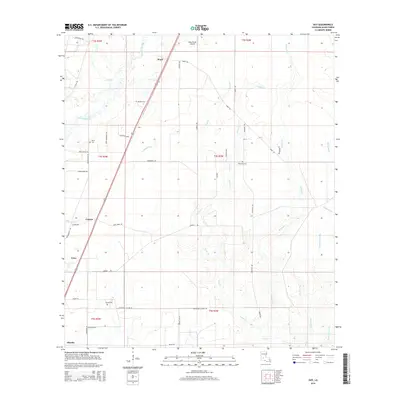
2015 Map of Guy
USGS Topo · Published 2015About this map
The Calcasieu River winds through this portion of Allen Parish, defining the drainage patterns for a series of creeks and gullies including Chinquapin Cr and Castor Cr. Small rural settlements like Ward, Guy, and Foley are connected by a network of local roads such as Reeds Bridge Rd and Carrier Rd, while the Allen Parish Airport serves as a modern aviation landmark in the northern section. Genealogy researchers will find several family-named burial sites scattered across the landscape, including McGee Cem, Deshotel Cem, and Durose Cem. The transition from the more developed area around Oberlin in the south to the timbered and agricultural tracts further north illustrates the enduring rural character of this Louisiana interior. Long-established land boundaries are marked by township and range lines, reflecting the historical division of the territory.
Find a feature on this map
50 named features on this map. Tap any name to fly to it.
Don’t see what you’re looking for? This feature index may not catch every label — zoom into the map to look around manually.
Map Details
Editions of this 2015 Guy Map
This is the sole edition of this map. No revisions or reprints were ever made.
Other maps of this area
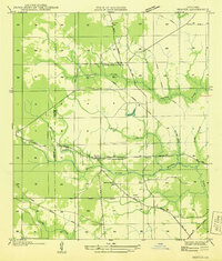
1935 · Beaver
USGS Topo · 1:31,680
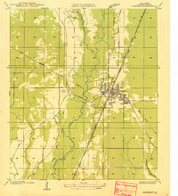
1935 · Oakdale
USGS Topo · 1:31,680
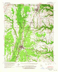
1942 · Oakdale
USGS Topo · 1:62,500
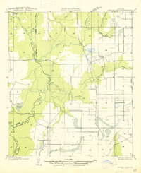
1947 · Fruge Lake
USGS Topo · 1:31,680
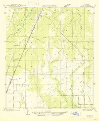
1947 · Foley
USGS Topo · 1:31,680
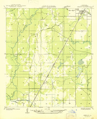
1947 · Oberlin
USGS Topo · 1:31,680
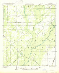
1947 · Pine Chapel
USGS Topo · 1:31,680
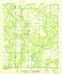
1947 · Bond
USGS Topo · 1:31,680
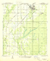
1947 · Elizabeth
USGS Topo · 1:31,680
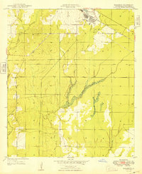
1948 · Elizabeth
USGS Topo · 1:24,000