
1902 Map of Guyandot
USGS Topo · Published 1902About this map
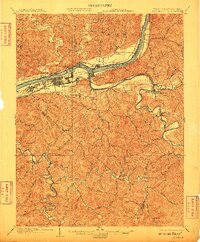
Huntington and Central City anchor the south bank of the Ohio River in this detailed turn-of-the-century portrait of the West Virginia-Ohio border. The landscape is defined by the convergence of major waterways and rail lines, including the Baltimore and Ohio R. R. and the Chesapeake and Ohio R. R., which facilitated the region's industrial growth. To the east, the winding Guyandot River flows past the settlement of Barbousville and the community of Guyandot, which sits at the confluence.
Find a feature on this map
65 named features on this map. Tap any name to fly to it.
Don’t see what you’re looking for? This feature index may not catch every label — zoom into the map to look around manually.
Map Details
Editions of this 1902 Guyandot Map
4 editions found
Other maps of this area

1892 · Huntington
USGS Topo · 1:125,000

1898 · Huntington
USGS Topo · 1:125,000

1898 · Ironton
USGS Topo · 1:62,500

1900 · Ironton
USGS Topo · 1:62,500

1901 · Guyandot
USGS Topo · 1:62,500

1901 · Ceredo
USGS Topo · 1:62,500

1902 · Milton
USGS Topo · 1:62,500

1902 · Midkiff
USGS Topo · 1:62,500

1903 · Kenova
USGS Topo · 1:125,000

1904 · Kenova
USGS Topo · 1:125,000