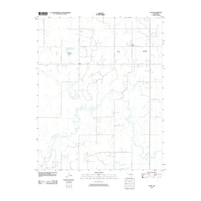
2010 Map of Gypsy
USGS Topo · Published 2010About this map
Deep Fork meanders across this rural section of Oklahoma, its winding course defining the southern landscape of this 2010 survey. The settlement of Gypsy stands as a central point of reference, while the smaller community of Iron Post is located further northeast. This area of Creek County is marked by a complex network of drainage, including Salt Creek, Bachelor Creek, and Clifty Creek, which feed into the larger river system. Human modification of the landscape is evident at the Salt Camp Creek Site 4 Reservoir and its associated Salt Camp Creek Site 4 Dam. For those researching family history in the region, the Bucktrot Cemetery provides a tangible link to the local community. The map's grid-like road system, featuring routes like S 417th West Ave and W 311th St S, illustrates the organized rural development typical of the early 21st century.
Find a feature on this map
34 named features on this map. Tap any name to fly to it.
Don’t see what you’re looking for? This feature index may not catch every label — zoom into the map to look around manually.
Map Details
Editions of this 2010 Gypsy Map
This is the sole edition of this map. No revisions or reprints were ever made.
Other maps of this area

1901 · Nuyaka
USGS Topo · 1:125,000

1916 · Bristow
USGS Topo · 1:62,500

1929 · Stroud
USGS Topo · 1:62,500

1931 · Drumright
USGS Topo · 1:62,500

1932 · Stroud
USGS Topo · 1:62,500

1954 · Oklahoma City
USGS Topo · 1:250,000

1957 · Oklahoma City
USGS Topo · 1:250,000

1963 · Oklahoma City
USGS Topo · 1:250,000
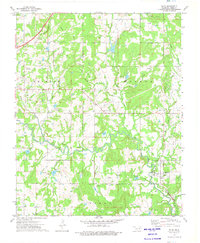
1973 · Slick
USGS Topo · 1:24,000
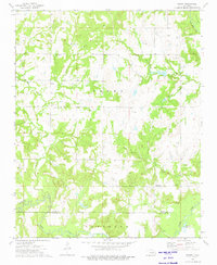
1973 · Newby
USGS Topo · 1:24,000