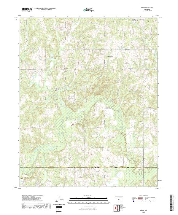
2022 Map of Gypsy
USGS Topo · Published 2022About this map
The rural community of Gypsy sits centrally within this landscape where the Creek County and Okfuskee County lines meet. This territory is defined by the winding course of the Deep Fork river and the drainage of several local tributaries, including Bachelor Cr and W Fork Sandy Cr. The settlement pattern is distinctly agricultural, marked by a network of section-line roads like S 449th West Ave and Co Line Rd.
Find a feature on this map
36 named features on this map. Tap any name to fly to it.
Don’t see what you’re looking for? This feature index may not catch every label — zoom into the map to look around manually.
Map Details
Editions of this 2022 Gypsy Map
This is the sole edition of this map. No revisions or reprints were ever made.
Other maps of this area

1901 · Nuyaka
USGS Topo · 1:125,000

1916 · Bristow
USGS Topo · 1:62,500

1929 · Stroud
USGS Topo · 1:62,500

1931 · Drumright
USGS Topo · 1:62,500

1932 · Stroud
USGS Topo · 1:62,500

1954 · Oklahoma City
USGS Topo · 1:250,000

1957 · Oklahoma City
USGS Topo · 1:250,000

1963 · Oklahoma City
USGS Topo · 1:250,000
1973 · Slick
USGS Topo · 1:24,000
1973 · Newby
USGS Topo · 1:24,000