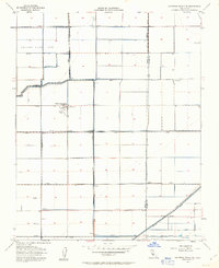
1954 Map of Hacienda Ranch NE
USGS Topo · Published 1963About this map
Tulare Lake Bed dominates this landscape, revealing a highly engineered agricultural environment where the natural basin has been subdivided by a geometric grid of levees and canals. The transformation of this hydrologic system is evident in the extensive network of irrigation infrastructure, including the Main Canal, Homeland Canal, and various distribution channels like Lateral A and Lateral B. These features illustrate how mid-century water management redirected the San Joaquin Valley's natural drainage to support industrial-scale farming.
Find a feature on this map
37 named features on this map. Tap any name to fly to it.
Don’t see what you’re looking for? This feature index may not catch every label — zoom into the map to look around manually.
Map Details
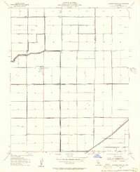
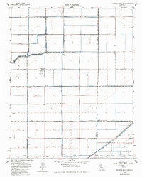
Editions of this 1954 Hacienda Ranch NE Map
3 editions found
Other maps of this area

1914 · Lost Hills
USGS Topo · 1:125,000

1927 · Lake View School
USGS Topo · 1:31,680

1928 · Corcoran
USGS Topo · 1:31,680

1929 · Alpaugh
USGS Topo · 1:31,680

1929 · Hacienda Ranch
USGS Topo · 1:31,680

1929 · West Alpaugh
USGS Topo · 1:31,680

1929 · Allensworth
USGS Topo · 1:31,680

1931 · Harvester
USGS Topo · 1:31,680

1932 · El Rico Ranch
USGS Topo · 1:31,680

1932 · Lone Tree Well
USGS Topo · 1:31,680