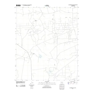
2010 Map of Hackberry Lake
USGS Topo · Published 2010About this map
Industrial potash mining and the desolate beauty of the Chihuahuan Desert define this corner of Eddy County. The Duval Corporation Wills-Weaver facility and the Amax Potash Refinery stand as significant landmarks of the region's mineral extraction economy, alongside Amax Chemical. These industrial sites are surrounded by the expansive Querecho Plains and the prominent elevations of Nimenim Ridge and the Loco Hills.
Find a feature on this map
12 named features on this map. Tap any name to fly to it.
Don’t see what you’re looking for? This feature index may not catch every label — zoom into the map to look around manually.
Map Details
Editions of this 2010 Hackberry Lake Map
This is the sole edition of this map. No revisions or reprints were ever made.
Other maps of this area

1942 · Clayton Basin
USGS Topo · 1:62,500

1943 · Clayton Basin
USGS Topo · 1:62,500

1943 · Oil City
USGS Topo · 1:62,500

1954 · Carlsbad
USGS Topo · 1:250,000

1954 · Hobbs
USGS Topo · 1:250,000

1955 · Red Lake SE
USGS Topo · 1:24,000

1958 · Carlsbad
USGS Topo · 1:250,000

1958 · Hobbs
USGS Topo · 1:250,000

1963 · Maljamar
USGS Topo · 1:62,500

1978 · Artesia
USGS Topo · 1:100,000