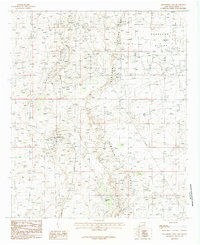
1985 Map of Hackberry Lake
USGS Topo · Published 1985About this map
Hackberry Oil Field and the surrounding high desert of Eddy County define this 1980s landscape. This survey documents a critical industrial footprint within the Loco Hills Field and across the Querecho Plains, where the infrastructure of energy extraction is meticulously mapped. Notable resource management features include an Aqueduct cutting through the terrain and numerous Substations supporting the local power grid.
Find a feature on this map
11 named features on this map. Tap any name to fly to it.
Don’t see what you’re looking for? This feature index may not catch every label — zoom into the map to look around manually.
Map Details
Editions of this 1985 Hackberry Lake Map
This is the sole edition of this map. No revisions or reprints were ever made.
Other maps of this area

1942 · Clayton Basin
USGS Topo · 1:62,500

1943 · Clayton Basin
USGS Topo · 1:62,500

1943 · Oil City
USGS Topo · 1:62,500

1954 · Carlsbad
USGS Topo · 1:250,000

1954 · Hobbs
USGS Topo · 1:250,000

1955 · Red Lake SE
USGS Topo · 1:24,000

1958 · Carlsbad
USGS Topo · 1:250,000

1958 · Hobbs
USGS Topo · 1:250,000

1963 · Maljamar
USGS Topo · 1:62,500

1978 · Artesia
USGS Topo · 1:100,000