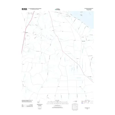
2013 Map of Hackney
USGS Topo · Published 2013About this map
The Pamlico River coastline near McConnell is defined by a complex network of coastal drainage, where natural creeks like Rice Cr meet an extensive system of man-made waterways. This 2013 survey illustrates the landscape of the Hackney area, where historical road names such as Haw Branch Church Rd and Old New Bern Rd hint at earlier community centers and transit corridors through the lowlands. The eastern portion of the map is dominated by a systematic irrigation or drainage grid, including the Piney Pond Canal, Lot Canal, and Dividing Canal. These features, alongside Sandy Mdws, reflect a long-standing tradition of managing the wet soils of the coastal plain for agriculture. Smaller settlements like Rover and Hackney remain connected by rural routes that navigate around features such as Gum Swamp Run and the wide Fork Swamp.
Find a feature on this map
93 named features on this map. Tap any name to fly to it.
Don’t see what you’re looking for? This feature index may not catch every label — zoom into the map to look around manually.
Map Details
Editions of this 2013 Hackney Map
This is the sole edition of this map. No revisions or reprints were ever made.
Other maps of this area

1902 · Vanceboro
USGS Topo · 1:62,500

1903 · Chocowinity
USGS Topo · 1:62,500

1904 · Vanceboro
USGS Topo · 1:62,500

1905 · Chocowinity
USGS Topo · 1:62,500

1905 · Vanceboro
USGS Topo · 1:62,500

1943 · Plymouth
USGS Topo · 1:125,000

1950 · Edward
USGS Topo · 1:24,000

1951 · Bunyan
USGS Topo · 1:24,000

1951 · Hackney
USGS Topo · 1:24,000

1951 · Washington
USGS Topo · 1:24,000