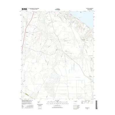
2016 Map of Hackney
USGS Topo · Published 2016About this map
Chocowinity Bay and its northern shoreline at Fork Point define the coastal landscape of this 2016 survey, where the lowlands of Beaufort and Craven Counties meet. The interior is characterized by a complex network of wetlands and drainage features, including the broad Juniper Swamp and specialized terrain like Reedy Pocosin and Blount Pocosin. This region's agricultural and hydrologic history is visible in the numerous engineered waterways such as Island Canal, Lot Canal, and the Sheppard Run Canal.
Find a feature on this map
84 named features on this map. Tap any name to fly to it.
Don’t see what you’re looking for? This feature index may not catch every label — zoom into the map to look around manually.
Map Details
Editions of this 2016 Hackney Map
This is the sole edition of this map. No revisions or reprints were ever made.
Other maps of this area

1902 · Vanceboro
USGS Topo · 1:62,500

1903 · Chocowinity
USGS Topo · 1:62,500

1904 · Vanceboro
USGS Topo · 1:62,500

1905 · Chocowinity
USGS Topo · 1:62,500

1905 · Vanceboro
USGS Topo · 1:62,500

1943 · Plymouth
USGS Topo · 1:125,000

1950 · Edward
USGS Topo · 1:24,000

1951 · Bunyan
USGS Topo · 1:24,000

1951 · Hackney
USGS Topo · 1:24,000

1951 · Washington
USGS Topo · 1:24,000