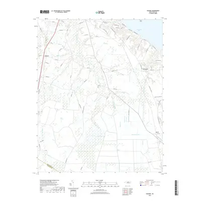
2019 Map of Hackney
USGS Topo · Published 2019About this map
The wet, low-lying landscapes of Beaufort County are prominently featured in this coastal North Carolina survey. Dominating the southern and central portions of the map are the expansive wetlands of Blount Pocosin and Reedy Pocosin, areas defined by their unique evergreen shrub bog ecology. The agricultural and drainage history of the region is evident through an extensive network of managed waterways, including the Sheppard Run Canal, Dividing Canal, and Gum Run Canal, which lace through the terrain to manage water levels. Small communities such as Hackney, McConnell, and Rover sit at the margins of these wetlands. Along the northern edge, the topography shifts toward the waters of Chocowinity Bay, where residential roads like Cypress Landing Trl and Moores Beach Rd indicate contemporary coastal development. Local family history is grounded by the presence of Edwards Cem located near Cindy Edwards Br.
Find a feature on this map
83 named features on this map. Tap any name to fly to it.
Don’t see what you’re looking for? This feature index may not catch every label — zoom into the map to look around manually.
Map Details
Editions of this 2019 Hackney Map
This is the sole edition of this map. No revisions or reprints were ever made.
Other maps of this area

1902 · Vanceboro
USGS Topo · 1:62,500

1903 · Chocowinity
USGS Topo · 1:62,500

1904 · Vanceboro
USGS Topo · 1:62,500

1905 · Chocowinity
USGS Topo · 1:62,500

1905 · Vanceboro
USGS Topo · 1:62,500

1943 · Plymouth
USGS Topo · 1:125,000

1950 · Edward
USGS Topo · 1:24,000

1951 · Bunyan
USGS Topo · 1:24,000

1951 · Hackney
USGS Topo · 1:24,000

1951 · Washington
USGS Topo · 1:24,000