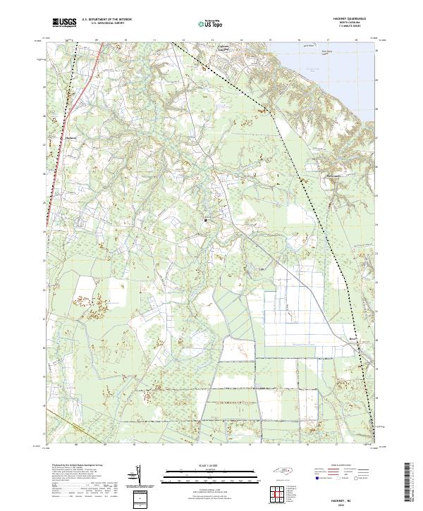
2022 Map of Hackney
USGS Topo · Published 2022About this map
Chocowinity Bay and its network of inland waterways define this eastern North Carolina landscape, where the Beaufort County and Craven County border meets. The map documents a complex hydraulic environment dominated by large pocosin wetlands, including Reedy Pocosin and Blount Pocosin. These acidic, peat-soil wetlands are intersected by a grid of man-made drainage systems such as Lot Canal, Gum Run Canal, and the extensive Sheppard Run Canal, illustrating a long history of land reclamation efforts for agriculture and timber.
Find a feature on this map
86 named features on this map. Tap any name to fly to it.
Don’t see what you’re looking for? This feature index may not catch every label — zoom into the map to look around manually.
Map Details
Editions of this 2022 Hackney Map
This is the sole edition of this map. No revisions or reprints were ever made.
Other maps of this area

1902 · Vanceboro
USGS Topo · 1:62,500

1903 · Chocowinity
USGS Topo · 1:62,500

1904 · Vanceboro
USGS Topo · 1:62,500

1905 · Chocowinity
USGS Topo · 1:62,500

1905 · Vanceboro
USGS Topo · 1:62,500

1943 · Plymouth
USGS Topo · 1:125,000

1950 · Edward
USGS Topo · 1:24,000

1951 · Bunyan
USGS Topo · 1:24,000

1951 · Hackney
USGS Topo · 1:24,000

1951 · Washington
USGS Topo · 1:24,000