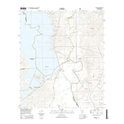
2015 Map of Haddens
USGS Topo · Published 2015About this map
Toledo-Bend- Reservoir dominates this 2015 landscape where the Sabine River forms the state line between Louisiana and Texas. The community of Toledo and the nearby Toledo Cem sit along the eastern shore, marking a transition from the water's edge to the timberlands of Vernon Parish. To the north, the winding course of Bayou Toro feeds into the reservoir near McCowan Bend, while the southern reaches near South Toledo Bend show a denser network of local roads and residential developments.
Find a feature on this map
88 named features on this map. Tap any name to fly to it.
Don’t see what you’re looking for? This feature index may not catch every label — zoom into the map to look around manually.
Map Details
Editions of this 2015 Haddens Map
This is the sole edition of this map. No revisions or reprints were ever made.
Other maps of this area

1941 · Leesville
USGS Topo · 1:62,500

1942 · Florien
USGS Topo · 1:62,500

1943 · Leesville
USGS Topo · 1:62,500

1944 · Negreet
USGS Topo · 1:62,500

1944 · Wiergate
USGS Topo · 1:62,500

1944 · Florien
USGS Topo · 1:62,500

1946 · Leesville
USGS Topo · 1:62,500

1948 · Leesville
USGS Topo · 1:62,500

1948 · Wiergate
USGS Topo · 1:62,500

1953 · Alexandria
USGS Topo · 1:250,000