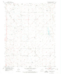
1954 Map of Haegler Ranch
USGS Topo · Published 1974About this map
Large cattle operations and isolated agricultural developments define this section of the High Plains east of Colorado Springs during the mid-1950s. The landscape is dominated by naming conventions that reflect a legacy of land ownership, most notably at Haegler Ranch, La Vega Ranch, and the Hook & Line Ranch. These hubs of activity are connected by early thoroughfares like the Falcon Highway and Judge Orr Road, which navigate a terrain carved by Black Squirrel Creek and Brackett Creek. The reliance on groundwater is evident through the numerous windmills scattered across the quadrangle, serving as vital infrastructure for the ranching economy. A solitary Community Building stands as a focal point for the rural population, while the high point at VABM 6541 El Paso E Base provides a surveyor's anchor for the surrounding rolling hills.
Find a feature on this map
13 named features on this map. Tap any name to fly to it.
Don’t see what you’re looking for? This feature index may not catch every label — zoom into the map to look around manually.
Map Details
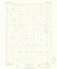
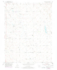
Editions of this 1954 Haegler Ranch Map
3 editions found
Other maps of this area

1893 · Big Springs
USGS Topo · 1:125,000

1893 · Colorado Springs
USGS Topo · 1:125,000

1894 · Castle Rock
USGS Topo · 1:125,000

1909 · Colorado Springs
USGS Topo · 1:125,000

1913 · Castle Rock
USGS Topo · 1:125,000

1940 · Elbert
USGS Topo · 1:62,500

1942 · Colorado Springs
USGS Topo · 1:125,000

1944 · Elbert
USGS Topo · 1:62,500

1948 · Falcon
USGS Topo · 1:24,000

1948 · Falcon
USGS Topo · 1:62,500