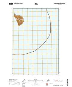
2019 Map of Hagemeister Island C-1 OE E SW
USGS Topo · Published 2019About this map
Round Island rises from the northern Pacific Ocean as a prominent landmass within the Walrus Islands chain in this 2019 survey. This isolated island terrain is meticulously documented with 20-foot contour intervals, illustrating the steep elevation changes that characterize this coastal environment. The surrounding waters are charted within the Dillingham Census Area of Alaska, showcasing the remote maritime geography of the Bering Sea region. The presence of the Walrus Islands suggests a landscape defined by significant wildlife habitats and protected natural features, providing a detailed record of the island's topographic footprint at this moment in the early twenty-first century.
Find a feature on this map
4 named features on this map. Tap any name to fly to it.
Don’t see what you’re looking for? This feature index may not catch every label — zoom into the map to look around manually.
Map Details
Editions of this 2019 Hagemeister Island C-1 OE E SW Map
This is the sole edition of this map. No revisions or reprints were ever made.
Other maps of this area

1945 · Nushagak Bay
USGS Topo · 1:250,000

1948 · Hagemeister Island C-1
USGS Topo · 1:63,360

1949 · Nushagak Bay
USGS Topo · 1:250,000

1951 · Hagemeister Island
USGS Topo · 1:250,000

1951 · Nushagak Bay
USGS Topo · 1:250,000

1952 · Hagemeister Island C-1
USGS Topo · 1:63,360

1957 · Hagemeister Island
USGS Topo · 1:250,000

1964 · Nushagak Bay
USGS Topo · 1:250,000
2019 · Hagemeister Island C-1 OE E NW
USGS Topo · 1:25,000
2020 · Hagemeister Island C-1 NE
USGS Topo · 1:25,000