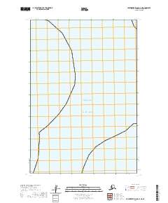
2020 Map of Hagemeister Island C-1 NE
USGS Topo · Published 2020About this map
Bristol Bay and the open expanse of the Pacific Ocean dominate this coastal survey in the Dillingham Census Area. The map highlights the intersection of marine environments and land division boundaries, including the Public Land Survey System grids for t16s r65w and t17s r66w. This specific location represents a remote stretch of the Alaskan coastline where the northern reaches of the Pacific meet the Bering Sea's eastern arm. The lack of terrestrial infrastructure or named settlements emphasizes the wilderness character of the Hagemeister Island region, focusing instead on the legal boundaries and natural coastline as it appeared in the early 21st century.
Find a feature on this map
7 named features on this map. Tap any name to fly to it.
Don’t see what you’re looking for? This feature index may not catch every label — zoom into the map to look around manually.
Map Details
Editions of this 2020 Hagemeister Island C-1 NE Map
This is the sole edition of this map. No revisions or reprints were ever made.
Other maps of this area

1945 · Nushagak Bay
USGS Topo · 1:250,000

1948 · Hagemeister Island C-1
USGS Topo · 1:63,360

1949 · Nushagak Bay
USGS Topo · 1:250,000

1950 · Nushagak Bay D-6
USGS Topo · 1:63,360

1950 · Hagemeister Island D-1
USGS Topo · 1:63,360

1951 · Hagemeister Island
USGS Topo · 1:250,000

1951 · Nushagak Bay
USGS Topo · 1:250,000

1952 · Hagemeister Island C-1
USGS Topo · 1:63,360

1952 · Hagemeister Island D-1
USGS Topo · 1:63,360

1957 · Hagemeister Island
USGS Topo · 1:250,000