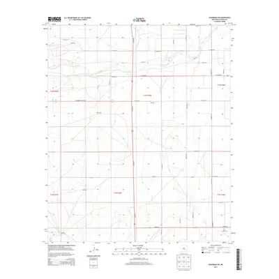
2013 Map of Hagerman SW
USGS Topo · Published 2013About this map
Rio Felix meanders across the northern portion of this landscape, carving a subtle path through the high plains of Chaves County. The terrain is defined by a rigorous grid of section lines and rural roads, indicating a deeply organized agricultural and ranching layout. Family-held lands are marked by landmarks such as Hurst Ranch and Hill Ranch, which serve as primary points of human presence in this open country. In the southeast, the Lake Arthur Cem provides a focal point for genealogical interest, situated near the intersection of Pueblo Rd and Cherokee Rd. Transport through the area relies on a network of named routes like SE Main St and Choctaw Rd, while smaller roads like Sagebrush Valley Rd and Jicarilla Rd emphasize the desert character of the environment.
Find a feature on this map
36 named features on this map. Tap any name to fly to it.
Don’t see what you’re looking for? This feature index may not catch every label — zoom into the map to look around manually.
Map Details
Editions of this 2013 Hagerman SW Map
This is the sole edition of this map. No revisions or reprints were ever made.
Other maps of this area

1949 · Peters Lake
USGS Topo · 1:24,000

1950 · Dexter West
USGS Topo · 1:24,000

1950 · Dexter East
USGS Topo · 1:24,000

1951 · Hagerman
USGS Topo · 1:24,000

1952 · Hagerman SW
USGS Topo · 1:24,000

1953 · Espuela
USGS Topo · 1:24,000

1954 · Carlsbad
USGS Topo · 1:250,000

1955 · Artesia NE
USGS Topo · 1:24,000

1955 · Hackberry Ranch
USGS Topo · 1:24,000

1955 · Hope NE
USGS Topo · 1:24,000