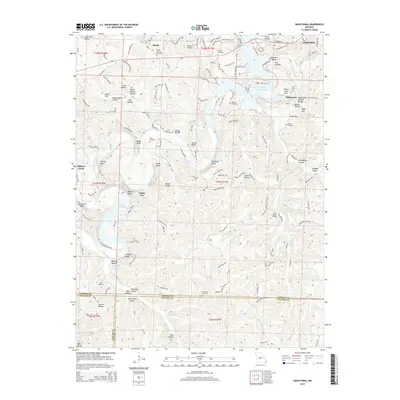
2015 Map of Hahatonka
USGS Topo · Published 2015About this map
Lake of the Ozarks and the winding Niangua River dominate this Central Missouri landscape, where steep bluffs and deep hollows create a complex topography. This survey shows the region's rural character, anchored by small settlements like Roach and White City. Genealogy researchers will find significant value in the numerous family and community burial grounds documented here, including the Union Electric Cemetery, Laughlin Cemetery, and Dickerson Cemetery. The geography is defined by a succession of high overlooks such as Stover Bluff, Rooffener Bluff, and Meades Bluff, which descend toward water features like Lake Niangua and Mosier Spring. This 2015 edition provides a clear view of the road networks, including W Highway 54 and Ha Ha Tonka Rd, as they navigate the area's intricate hollows and ridges.
Find a feature on this map
66 named features on this map. Tap any name to fly to it.
Don’t see what you’re looking for? This feature index may not catch every label — zoom into the map to look around manually.
Map Details
Editions of this 2015 Hahatonka Map
This is the sole edition of this map. No revisions or reprints were ever made.
Other maps of this area

1888 · Versailles
USGS Topo · 1:125,000

1893 · Versailles
USGS Topo · 1:125,000

1932 · Versailles No 4
USGS Topo · 1:48,000

1933 · Stoutland
USGS Topo · 1:62,500

1934 · Macks Creek
USGS Topo · 1:48,000

1934 · Camdenton
USGS Topo · 1:24,000

1934 · Green Bay Terrace
USGS Topo · 1:24,000

1935 · Barnumton
USGS Topo · 1:24,000

1938 · Stoutland
USGS Topo · 1:62,500

1939 · Macks Creek
USGS Topo · 1:62,500