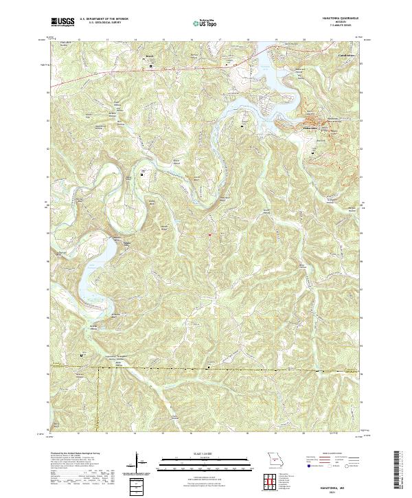
2021 Map of Hahatonka
USGS Topo · Published 2021About this map
Hahatonka and the surrounding Ozark landscape are defined by the winding waters of the Niangua River and its major impoundments. The geography of the Niangua Arm and Lake of the Ozarks dominates the northern and eastern reaches, while the river's lower course flows past prominent bluffs including Rooffener Bluff, Darby Bluff, and Stover Bluff. The area's complex karst topography is highlighted by features such as the Hahatonka Natural Bridge, Devils Kitchen, and several large sinkholes including Red Sink and Black Sink.
Find a feature on this map
65 named features on this map. Tap any name to fly to it.
Don’t see what you’re looking for? This feature index may not catch every label — zoom into the map to look around manually.
Map Details
Editions of this 2021 Hahatonka Map
This is the sole edition of this map. No revisions or reprints were ever made.
Other maps of this area

1888 · Versailles
USGS Topo · 1:125,000

1893 · Versailles
USGS Topo · 1:125,000

1932 · Versailles No 4
USGS Topo · 1:48,000

1933 · Stoutland
USGS Topo · 1:62,500

1934 · Macks Creek
USGS Topo · 1:48,000

1934 · Camdenton
USGS Topo · 1:24,000

1934 · Green Bay Terrace
USGS Topo · 1:24,000

1935 · Barnumton
USGS Topo · 1:24,000

1938 · Stoutland
USGS Topo · 1:62,500

1939 · Macks Creek
USGS Topo · 1:62,500