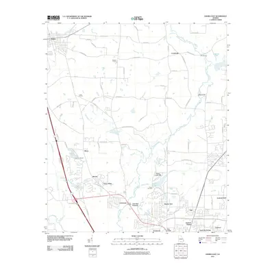
2011 Map of Hahira East
USGS Topo · Published 2011About this map
The Withlacoochee River carves a winding path through this Lowndes County landscape, serving as a primary geographical anchor for settlements ranging from Hahira in the northwest to the northern reaches of Valdosta. Historically significant sites such as Franklinville and Tillman are documented alongside established family landmarks like Passmore Cemetery and Hodges Cemetery. The map illustrates a transition from rural agricultural land and timber tracts to the suburban expansion seen in Windsor Park, Cherry Creek Hills, and Northwood.
Find a feature on this map
79 named features on this map. Tap any name to fly to it.
Don’t see what you’re looking for? This feature index may not catch every label — zoom into the map to look around manually.
Map Details
Editions of this 2011 Hahira East Map
This is the sole edition of this map. No revisions or reprints were ever made.
Other maps of this area

1953 · Waycross
USGS Topo · 1:250,000

1954 · Valdosta
USGS Topo · 1:250,000

1958 · Valdosta
USGS Topo · 1:250,000

1958 · Waycross
USGS Topo · 1:250,000

1959 · Valdosta
USGS Topo · 1:250,000

1961 · Hahira East
USGS Topo · 1:24,000

1961 · Valdosta
USGS Topo · 1:24,000

1961 · Hahira West
USGS Topo · 1:24,000

1961 · Ousley
USGS Topo · 1:24,000

1971 · Indianola
USGS Topo · 1:24,000