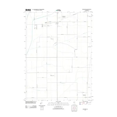
2012 Map of Hahnaman
USGS Topo · Published 2012About this map
The settlement of Hahnaman anchors the southeastern corner of this Whiteside County landscape, illustrating a region defined by agricultural infrastructure and aviation. The drainage of the prairie is evident through a series of engineered watercourses, including South Fork Ditch and Branch F Ditch, which redirect flow alongside natural features like Coon Creek and Spring Slough. Local heritage is preserved at Golder Cem, while the modern utility of the area is highlighted by significant regional facilities such as the Whiteside County Airport-Jos H Bittorf Field in the north and the Cady Aerial RLA Airport centrally located. A dense network of rural roads like Gaulrapp Rd and Ridge Rd connects the scattered farmsteads and agricultural operations that dominate this Illinois interior.
Find a feature on this map
48 named features on this map. Tap any name to fly to it.
Don’t see what you’re looking for? This feature index may not catch every label — zoom into the map to look around manually.
Map Details
Editions of this 2012 Hahnaman Map
This is the sole edition of this map. No revisions or reprints were ever made.
Other maps of this area

1930 · Woodsung
USGS Topo · 1:48,000

1932 · Prophetstown
USGS Topo · 1:48,000

1934 · Morrison
USGS Topo · 1:48,000

1936 · Prophetstown
USGS Topo · 1:62,500

1940 · Morrison
USGS Topo · 1:62,500

1946 · Sterling
USGS Topo · 1:62,500

1948 · Sterling
USGS Topo · 1:62,500

1949 · Walnut
USGS Topo · 1:62,500

1958 · Aurora
USGS Topo · 1:250,000

1961 · Aurora
USGS Topo · 1:250,000