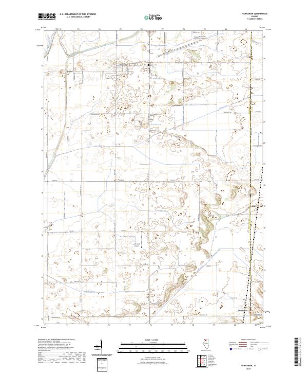
2024 Map of Hahnaman
USGS Topo · Published 2024About this map
Hahnaman sits at the heart of a highly managed agricultural landscape on the border of Whiteside and Lee counties. The terrain is defined by a sophisticated network of drainage infrastructure, including the Main Ditch, Winnebago Ditch, and South Fork Ditch, which redirect water through the low-lying prairie to support the region's farms. These engineered waterways flank remnants of the natural hydrology like Spring Slough and Coon Creek.
Find a feature on this map
50 named features on this map. Tap any name to fly to it.
Don’t see what you’re looking for? This feature index may not catch every label — zoom into the map to look around manually.
Map Details
Editions of this 2024 Hahnaman Map
This is the sole edition of this map. No revisions or reprints were ever made.
Other maps of this area

1930 · Woodsung
USGS Topo · 1:48,000

1932 · Prophetstown
USGS Topo · 1:48,000

1934 · Morrison
USGS Topo · 1:48,000

1936 · Prophetstown
USGS Topo · 1:62,500

1940 · Morrison
USGS Topo · 1:62,500

1946 · Sterling
USGS Topo · 1:62,500

1948 · Sterling
USGS Topo · 1:62,500

1949 · Walnut
USGS Topo · 1:62,500

1958 · Aurora
USGS Topo · 1:250,000

1961 · Aurora
USGS Topo · 1:250,000