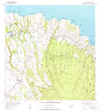
1957 Map of Haiku
USGS Topo · Published 1978About this map
Agricultural and maritime infrastructure dominates this northern Maui landscape, where the Hana Highway winds through a terrain deeply carved by gulches. The settlement at Makawao serves as a hub for the inland region, supported by labor settlements like Filipino Camp and Corn Mill Camp. Along the coast, the Coast Guard Reservation at Pauwela Point monitors the Pacific Ocean near a series of named bays, including Uaoa Bay and Waipio Bay.
Find a feature on this map
84 named features on this map. Tap any name to fly to it.
Don’t see what you’re looking for? This feature index may not catch every label — zoom into the map to look around manually.
Map Details
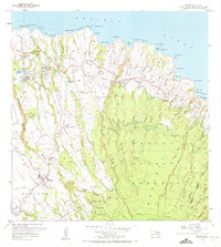
Editions of this 1957 Haiku Map
3 editions found
Other maps of this area

1954 · Maui
USGS Topo · 1:250,000

1954 · Paia
USGS Topo · 1:24,000

1954 · Puu O Kali
USGS Topo · 1:24,000

1957 · Kilohana
USGS Topo · 1:24,000

1957 · Haiku
USGS Topo · 1:24,000

1957 · Nahiku
USGS Topo · 1:24,000

1957 · Keanae
USGS Topo · 1:24,000

1966 · Maui
USGS Topo · 1:250,000

1974 · Maui
USGS Topo · 1:250,000
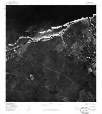
1977 · Paia
USGS Topo · 1:24,000