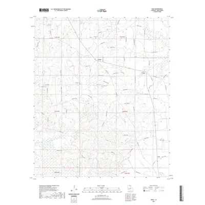
2020 Map of Haile
USGS Topo · Published 2020About this map
Linville and Haile serve as the primary hubs in this central Union Parish landscape, where the terrain is defined by a dense network of meandering waterways. The drainage system is particularly complex, featuring named branches such as Edwards Cr, Tenmile Cr, and Hollman Cr that eventually feed into the significant Bayou de Loutre. The presence of several historic burial grounds, including Abstent Cem and Macedonia Cem, indicates the long-standing community roots established along these creek banks.
Find a feature on this map
79 named features on this map. Tap any name to fly to it.
Don’t see what you’re looking for? This feature index may not catch every label — zoom into the map to look around manually.
Map Details
Editions of this 2020 Haile Map
This is the sole edition of this map. No revisions or reprints were ever made.
Other maps of this area

1935 · Drew
USGS Topo · 1:62,500

1935 · Haile
USGS Topo · 1:62,500

1952 · Calhoun
USGS Topo · 1:62,500

1952 · Farmerville
USGS Topo · 1:62,500

1955 · Shreveport
USGS Topo · 1:250,000

1956 · Shreveport
USGS Topo · 1:250,000

1956 · Haile
USGS Topo · 1:62,500

1957 · Monroe North
USGS Topo · 1:62,500
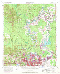
1969 · Monroe North
USGS Topo · 1:62,500
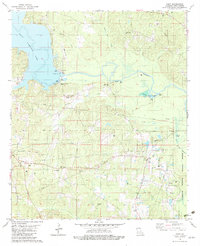
1982 · Point
USGS Topo · 1:24,000