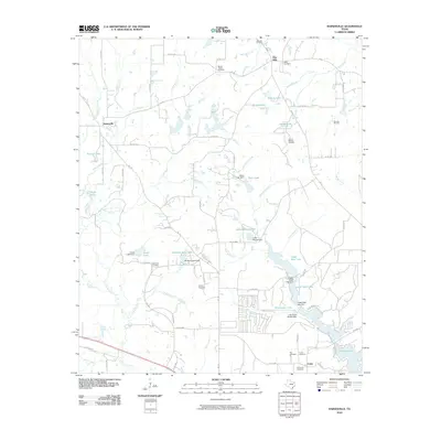
2010 Map of Hainesville
USGS Topo · Published 2010About this map
Pine Mills and Hainesville sit within a landscape defined by an intricate network of managed water and energy extraction in Wood County. The local terrain is marked by numerous man-made lakes and dams, such as Indian Mound Lake and Redland Acres Lake, which indicate a legacy of water control for agriculture or recreation. A notable Mill Race winds through the central portion of the map, suggesting the historical industrial utilization of local water power.
Find a feature on this map
89 named features on this map. Tap any name to fly to it.
Don’t see what you’re looking for? This feature index may not catch every label — zoom into the map to look around manually.
Map Details
Editions of this 2010 Hainesville Map
This is the sole edition of this map. No revisions or reprints were ever made.
Other maps of this area

1956 · Tyler
USGS Topo · 1:250,000

1960 · Shady Grove
USGS Topo · 1:24,000

1960 · Hawkins
USGS Topo · 1:24,000

1960 · Hainesville
USGS Topo · 1:24,000

1960 · Lindale
USGS Topo · 1:24,000

1960 · Mineola
USGS Topo · 1:24,000

1960 · Cartwright
USGS Topo · 1:24,000

1960 · Rhonesboro
USGS Topo · 1:24,000

1960 · Crow
USGS Topo · 1:24,000

1960 · Quitman
USGS Topo · 1:24,000