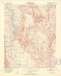
1951 Map of Haiwee Reservoir
USGS Topo · Published 1952About this map
Haiwee Reservoir and the essential infrastructure of the Los Angeles Aqueduct dominate this landscape during the early 1950s. The map illustrates a critical point in California’s water history, showing where the aqueduct runs both above and below ground, supported by the Haiwee Powerhouse. Running parallel to this engineering feat is the Southern Pacific railroad line, which served small desert settlements like Dunmovin and Rose Spr.
Find a feature on this map
50 named features on this map. Tap any name to fly to it.
Don’t see what you’re looking for? This feature index may not catch every label — zoom into the map to look around manually.
Map Details
Editions of this 1951 Haiwee Reservoir Map
4 editions found

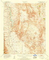
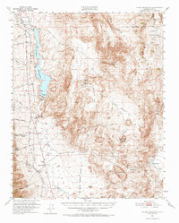
Other maps of this area

1905 · Olancha
USGS Topo · 1:125,000

1906 · Kernville
USGS Topo · 1:125,000

1907 · Olancha
USGS Topo · 1:125,000

1908 · Kernville
USGS Topo · 1:125,000

1908 · Ballarat
USGS Topo · 1:250,000

1913 · Ballarat
USGS Topo · 1:250,000

1915 · Searles Lake
USGS Topo · 1:250,000

1947 · Trona
USGS Topo · 1:250,000

1948 · Trona
USGS Topo · 1:250,000

1948 · Death Valley
USGS Topo · 1:250,000