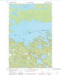
1967 Map of Hale Bay
USGS Topo · Published 1983About this map
Namakan Lake dominates this northern wilderness landscape along the international border between Ontario and Minnesota. The map depicts the intricate waterways and rocky islands of what is now Voyageurs National Park in the late 1960s, with later updates capturing the establishment of many modern campsites. The topography is defined by narrow channels like Blind Pig Channel and significant inlets such as Hale Bay and Grassy Bay.
Find a feature on this map
32 named features on this map. Tap any name to fly to it.
Don’t see what you’re looking for? This feature index may not catch every label — zoom into the map to look around manually.
Map Details
Editions of this 1967 Hale Bay Map
3 editions found
Other maps of this area

1954 · International Falls
USGS Topo · 1:250,000

1957 · International Falls
USGS Topo · 1:250,000

1958 · International Falls
USGS Topo · 1:250,000

1963 · Redhorse Bay
USGS Topo · 1:24,000

1963 · Crane Lake
USGS Topo · 1:24,000

1967 · Namakan Island
USGS Topo · 1:24,000

1967 · Marion Lake
USGS Topo · 1:24,000

1967 · Hale Bay
USGS Topo · 1:24,000
1967 · Kettle Falls
USGS Topo · 1:24,000

1967 · Johnson Lake
USGS Topo · 1:24,000