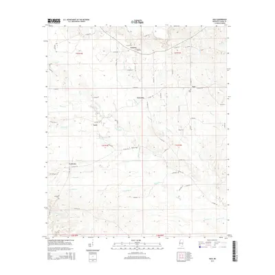
2015 Map of Hale
USGS Topo · Published 2015About this map
Bogue Homo and Shubuta Creek define the drainage of this central Clarke County landscape, where the rural topography is dotted with small settlements and family burial grounds. The community of Goodwater serves as a local anchor in the southwest, while other established points like Hale, Dedwylder, and Nancy mark the intersections of a dense network of county roads. Genealogists will find particular value in the clearly marked locations of the Harmony Cem, Salem Cem, and the McGowan Chapel Cem. The map illustrates a region structured by these waterways and the legacy of early land divisions, with numerous creeks such as Hollicar Cr and Goodwater Cr branching through the wooded terrain. The crossing at Wilson Bridge remains a notable landmark in this quiet corner of Mississippi, providing a detailed look at the rural infrastructure and settlement patterns of the mid-2010s.
Find a feature on this map
61 named features on this map. Tap any name to fly to it.
Don’t see what you’re looking for? This feature index may not catch every label — zoom into the map to look around manually.
Map Details
Editions of this 2015 Hale Map
This is the sole edition of this map. No revisions or reprints were ever made.
Other maps of this area

1953 · Hattiesburg
USGS Topo · 1:250,000

1953 · Meridian
USGS Topo · 1:250,000

1957 · Meridian
USGS Topo · 1:250,000

1957 · Quitman
USGS Topo · 1:62,500

1957 · Enterprise
USGS Topo · 1:62,500

1958 · Hattiesburg
USGS Topo · 1:250,000

1963 · Heidelberg
USGS Topo · 1:24,000

1964 · Heidelberg SW
USGS Topo · 1:24,000

1964 · Eucutta
USGS Topo · 1:24,000

1964 · Hale
USGS Topo · 1:24,000