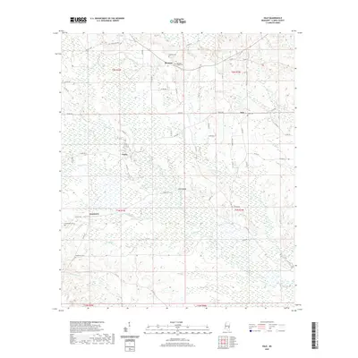
2020 Map of Hale
USGS Topo · Published 2020About this map
Bogue Homo and Shubuta Creek define the hydrologic character of this Mississippi landscape, weaving through a terrain marked by small community clusters and ancestral burial grounds. The historical transit of the region is anchored by the Old Stagecoach Rd in the north, while modern county roads connect the dispersed settlements of Harmony, Hale, Nancy, and Goodwater. Genealogists will find significant value in the documentation of local cemeteries, including Harmony Cem, Goodwater Cem, and McGowan Chapel Cem, which often represent the spiritual and social centers of these rural neighborhoods. The area's geography is further characterized by numerous minor waterways like Luke Fluffer Cr and Hollicar Cr, which contribute to the drainage of the varied Clarke County topography. Landmarks such as Wilson Bridge provide specific points of interest for those tracing family property or regional travel history.
Find a feature on this map
69 named features on this map. Tap any name to fly to it.
Don’t see what you’re looking for? This feature index may not catch every label — zoom into the map to look around manually.
Map Details
Editions of this 2020 Hale Map
This is the sole edition of this map. No revisions or reprints were ever made.
Other maps of this area

1953 · Hattiesburg
USGS Topo · 1:250,000

1953 · Meridian
USGS Topo · 1:250,000

1957 · Meridian
USGS Topo · 1:250,000

1957 · Quitman
USGS Topo · 1:62,500

1957 · Enterprise
USGS Topo · 1:62,500

1958 · Hattiesburg
USGS Topo · 1:250,000

1963 · Heidelberg
USGS Topo · 1:24,000

1964 · Heidelberg SW
USGS Topo · 1:24,000

1964 · Eucutta
USGS Topo · 1:24,000

1964 · Hale
USGS Topo · 1:24,000