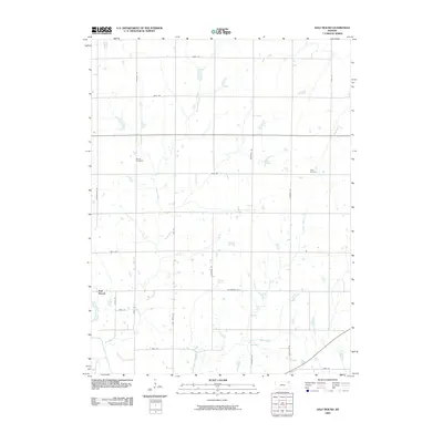
2009 Map of Half Mound
USGS Topo · Published 2009About this map
Half Mound sits at a crossroads in the southwestern corner of this landscape, where the Delaware River flows through the fertile plains of Jefferson County. The terrain is defined by a dense network of watercourses, including the meandering paths of Coal Creek and North Walnut Creek, which carve through the agricultural grid. This 2009 survey highlights a stable rural environment where family names and local history are preserved in sites like Earnst Cemetery and Neill Cemetery. The road system, including Halfmound Rd and Effingham Rd, follows the section lines of the Public Land Survey System, illustrating how the 19th-century division of the prairie continues to dictate the modern transport network and property boundaries in this part of Kansas.
Find a feature on this map
28 named features on this map. Tap any name to fly to it.
Don’t see what you’re looking for? This feature index may not catch every label — zoom into the map to look around manually.
Map Details
Editions of this 2009 Half Mound Map
This is the sole edition of this map. No revisions or reprints were ever made.
Other maps of this area

1885 · Atchison
USGS Topo · 1:125,000

1886 · Oskaloosa
USGS Topo · 1:125,000

1888 · Oskaloosa
USGS Topo · 1:125,000

1888 · Atchison
USGS Topo · 1:125,000

1888 · Hiawatha
USGS Topo · 1:125,000

1889 · Topeka
USGS Topo · 1:125,000

1893 · Atchison
USGS Topo · 1:125,000

1894 · Oskaloosa
USGS Topo · 1:125,000

1894 · Topeka
USGS Topo · 1:125,000

1894 · Hiawatha
USGS Topo · 1:125,000