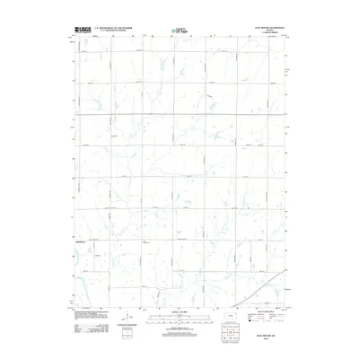
2012 Map of Half Mound
USGS Topo · Published 2012About this map
The settlement of Half Mound serves as the focal point of this Jefferson County landscape, where the prairie is etched by a intricate network of creeks and rural roads. Flowing through the southwestern corner, the Delaware River receives drainage from local tributaries including Coal Cr, N Walnut Cr, and Walnut Cr. The area's genealogical history is preserved in several small burial grounds scattered across the townships, such as Earnst Cem and Neill Cem. The rectilinear road grid, defined by routes like Chautauqua Rd and Half Mound Rd, illustrates the enduring structure of Kansas section-line surveying. Near the center of the quadrangle, Coal Creek Cem sits adjacent to Coal Creek Rd, marking a historic community center in this agricultural region.
Find a feature on this map
37 named features on this map. Tap any name to fly to it.
Don’t see what you’re looking for? This feature index may not catch every label — zoom into the map to look around manually.
Map Details
Editions of this 2012 Half Mound Map
This is the sole edition of this map. No revisions or reprints were ever made.
Other maps of this area

1885 · Atchison
USGS Topo · 1:125,000

1886 · Oskaloosa
USGS Topo · 1:125,000

1888 · Oskaloosa
USGS Topo · 1:125,000

1888 · Atchison
USGS Topo · 1:125,000

1888 · Hiawatha
USGS Topo · 1:125,000

1889 · Topeka
USGS Topo · 1:125,000

1893 · Atchison
USGS Topo · 1:125,000

1894 · Oskaloosa
USGS Topo · 1:125,000

1894 · Topeka
USGS Topo · 1:125,000

1894 · Hiawatha
USGS Topo · 1:125,000