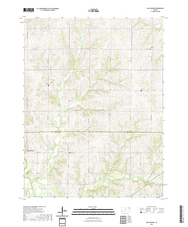
2022 Map of Half Mound
USGS Topo · Published 2022About this map
Half Mound and the surrounding agricultural landscape of northern Kansas are defined by a network of creeks and family burial sites. This 2022 survey captures the rural character of the border between Atchison and Jefferson Counties, where small drainage systems like Coal Cr and N Walnut Cr feed toward the Delaware River in the southwest. For family historians, the map is remarkably specific, identifying several small interment sites including the Ernst Family Cem, Neill Cem, and Coal Creek Cem. The surveyor's placement of these sites alongside local routes such as Cheyenne Rd and Half Mound Rd provides a precise spatial record of local genealogy and land ownership patterns that have persisted into the twenty-first century.
Find a feature on this map
45 named features on this map. Tap any name to fly to it.
Don’t see what you’re looking for? This feature index may not catch every label — zoom into the map to look around manually.
Map Details
Editions of this 2022 Half Mound Map
This is the sole edition of this map. No revisions or reprints were ever made.
Other maps of this area

1885 · Atchison
USGS Topo · 1:125,000

1886 · Oskaloosa
USGS Topo · 1:125,000

1888 · Oskaloosa
USGS Topo · 1:125,000

1888 · Atchison
USGS Topo · 1:125,000

1888 · Hiawatha
USGS Topo · 1:125,000

1889 · Topeka
USGS Topo · 1:125,000

1893 · Atchison
USGS Topo · 1:125,000

1894 · Oskaloosa
USGS Topo · 1:125,000

1894 · Topeka
USGS Topo · 1:125,000

1894 · Hiawatha
USGS Topo · 1:125,000