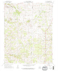
1961 Map of Half Way
USGS Topo · Published 1962About this map
Half Way and Schofield anchor this interior Missouri landscape, where the boundary between Polk and Dallas counties follows the local section lines rather than natural features. The terrain is defined by the drainage basins of Coon Creek and Lindley Creek, punctuated by the prominent heights of Blue Mound and Brushy Mound. For those researching family history, the map preserves the exact locations of numerous rural institutions, including the Reed Cem, Ankrom Cem, and Viles Cem, along with community hubs like Prairie Grove Ch and Redtop Ch. The distribution of small settlements like Schultz and Foose reflects a mid-century agricultural economy tied to small creeks and localized road networks before the era of significant rural consolidation.
Find a feature on this map
28 named features on this map. Tap any name to fly to it.
Don’t see what you’re looking for? This feature index may not catch every label — zoom into the map to look around manually.
Map Details
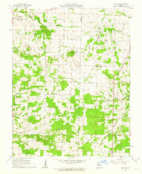
Editions of this 1961 Half Way Map
2 editions found
Other maps of this area

1884 · Springfield
USGS Topo · 1:125,000

1884 · Bolivar
USGS Topo · 1:125,000

1886 · Springfield
USGS Topo · 1:125,000

1892 · Bolivar
USGS Topo · 1:125,000

1947 · Strafford
USGS Topo · 1:62,500

1948 · Strafford
USGS Topo · 1:62,500

1950 · Buffalo NW
USGS Topo · 1:24,000

1950 · Polk
USGS Topo · 1:24,000

1951 · Buffalo NW
USGS Topo · 1:24,000

1951 · Polk
USGS Topo · 1:24,000