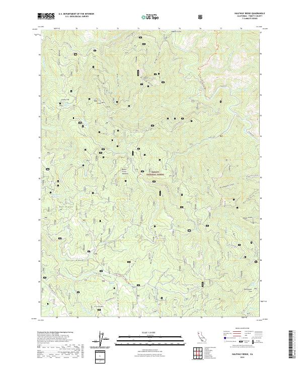
2021 Map of Halfway Ridge
USGS Topo · Published 2021About this map
Trinity National Forest defines this high-elevation landscape in Trinity County, where a complex network of ridges and gulches directs water toward Hayfork Cr and Butter Creek. The terrain is characterized by significant natural landmarks such as Grassy Mtn and Friend Mtn, which rise above the surrounding valleys. Land use is evidenced by the numerous named springs and flats, including Sheep Camp Springs, Fir Root Spring, and Springtime Flat, indicating the area's importance for seasonal resource access and water management. Transportation is limited to a few specific corridors such as the Drinkwater Divide Rd and the Indian Butter Trl, reflecting the isolated nature of these mountain reaches. A series of deep gulches, such as Pasture Gulch and Dinner Gulch, cut through Halfway Ridge, illustrating the erosive power of the local tributaries.
Find a feature on this map
54 named features on this map. Tap any name to fly to it.
Don’t see what you’re looking for? This feature index may not catch every label — zoom into the map to look around manually.
Map Details
Editions of this 2021 Halfway Ridge Map
This is the sole edition of this map. No revisions or reprints were ever made.
Other maps of this area

1909 · Big Bar
USGS Topo · 1:96,000

1915 · Big Bar and Vicinity
USGS Topo · 1:250,000

1918 · Anada
USGS Topo · 1:62,500

1931 · Hoaglin
USGS Topo · 1:96,000

1935 · Hoaglin
USGS Topo · 1:125,000

1951 · Hayfork
USGS Topo · 1:62,500

1951 · Hyampom
USGS Topo · 1:62,500

1954 · Pickett Peak
USGS Topo · 1:62,500

1954 · Dubakella Mtn
USGS Topo · 1:62,500

1958 · Redding
USGS Topo · 1:250,000