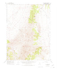
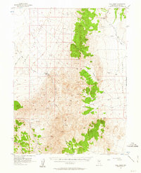
1956 Map of Hall Creek
USGS Topo · Published 1980About this map
Carico Lake Valley and Grass Valley dominate this mid-century landscape of the Great Basin, where isolated ranching outposts are the primary sign of human habitation. The Hall Creek Ranch sits at the foot of the mountains, while Cowboy Rest provides a named landmark along the eastern slopes. The drainage patterns of Hall Creek and the North Fork Skull Creek dictate the movement of water through the arid terrain, feeding into the wider Reese River Valley. Numerous water sources such as Dry Canyon Spring and Corral Spring are critical anchors for local activity. The survey also records several high-altitude benchmarks, including VABM 9396 Hall, illustrating the topographic complexity of the mountain ranges separating these high desert valleys.
Find a feature on this map
22 named features on this map. Tap any name to fly to it.
Don’t see what you’re looking for? This feature index may not catch every label — zoom into the map to look around manually.
Map Details
Editions of this 1956 Hall Creek Map
3 editions found

Other maps of this area

1926 · Roberts Mountains
USGS Topo · 1:250,000

1929 · Roberts Mountains
USGS Topo · 1:250,000

1932 · Sonoma Range
USGS Topo · 1:250,000

1938 · Cortez
USGS Topo · 1:48,000

1939 · Sonoma Range
USGS Topo · 1:250,000

1944 · Cortez
USGS Topo · 1:62,500

1955 · Millett
USGS Topo · 1:250,000

1955 · Winnemucca
USGS Topo · 1:250,000

1956 · Mount Callaghan
USGS Topo · 1:62,500

1956 · Walti Hot Springs
USGS Topo · 1:62,500