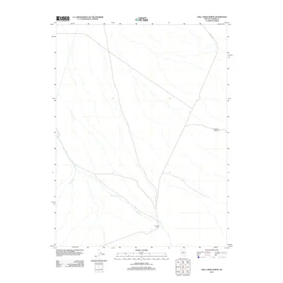
2012 Map of Hall Creek North
USGS Topo · Published 2012About this map
Hall Creek Ranch serves as a primary point of human activity in this corner of the Great Basin, situated where the waters of Hall Creek flow through the arid landscape. The terrain is defined by its drainage patterns, with Iowa Creek joining the system from the west and the distinct geological formation of Dead Ox Canyon marking the northeast. This 2012 survey illustrates the connectivity of this rural Nevada landscape via Carico Lake Rd, which traverses the northern reaches of the quadrangle. The map highlights the intersection of seasonal watercourses and established ranching land in a region where water management and topography dictate the pattern of settlement.
Find a feature on this map
5 named features on this map. Tap any name to fly to it.
Don’t see what you’re looking for? This feature index may not catch every label — zoom into the map to look around manually.
Map Details
Editions of this 2012 Hall Creek North Map
This is the sole edition of this map. No revisions or reprints were ever made.
Other maps of this area

1926 · Roberts Mountains
USGS Topo · 1:250,000

1929 · Roberts Mountains
USGS Topo · 1:250,000

1932 · Sonoma Range
USGS Topo · 1:250,000

1939 · Sonoma Range
USGS Topo · 1:250,000

1955 · Millett
USGS Topo · 1:250,000

1955 · Winnemucca
USGS Topo · 1:250,000

1956 · Hall Creek
USGS Topo · 1:62,500

1958 · Winnemucca
USGS Topo · 1:250,000

1959 · Millett
USGS Topo · 1:250,000

1961 · The Cedars
USGS Topo · 1:62,500