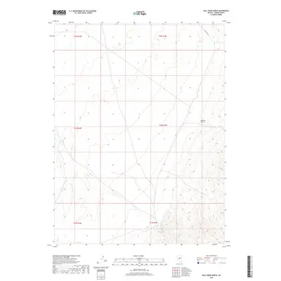
2018 Map of Hall Creek North
USGS Topo · Published 2018About this map
Hall Cr and Iowa Cr provide a network of drainage across the northern reaches of Lander County, highlighting the sparse but vital water resources in this interior basin. The landscape is defined by the steep elevation changes of Dead Ox Canyon, a prominent geological feature in the eastern section of the quadrangle. Transport through this high-altitude desert terrain is facilitated by Carico Lake Rd, which follows the natural contours of the land in the northeast corner. This 2018 survey documents a region where traditional land divisions, marked by township and range boundaries like t24n r45e, continue to delineate vast tracts of public and private property. The map reflects a modern snapshot of a remote Nevada environment where human infrastructure remains minimal compared to the topographical dominance of the canyons and seasonal creek beds.
Find a feature on this map
10 named features on this map. Tap any name to fly to it.
Don’t see what you’re looking for? This feature index may not catch every label — zoom into the map to look around manually.
Map Details
Editions of this 2018 Hall Creek North Map
This is the sole edition of this map. No revisions or reprints were ever made.
Other maps of this area

1926 · Roberts Mountains
USGS Topo · 1:250,000

1929 · Roberts Mountains
USGS Topo · 1:250,000

1932 · Sonoma Range
USGS Topo · 1:250,000

1939 · Sonoma Range
USGS Topo · 1:250,000

1955 · Millett
USGS Topo · 1:250,000

1955 · Winnemucca
USGS Topo · 1:250,000

1956 · Hall Creek
USGS Topo · 1:62,500

1958 · Winnemucca
USGS Topo · 1:250,000

1959 · Millett
USGS Topo · 1:250,000

1961 · The Cedars
USGS Topo · 1:62,500