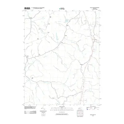
2010 Map of Halls Gap
USGS Topo · Published 2010About this map
Stanford Reservoir and the headwaters of the Green River anchor this central Kentucky landscape. In the early 21st century, the terrain is defined by its ridge-and-hollow topography, where small communities like Halls Gap, Miracle, and Jumbo are connected by a network of winding roads such as Bender Hollow Rd and Skyline Dr. The map provides significant genealogical value, documenting family-linked sites including Campbell Cemetery, Gruenheim Cemetery, and Waters Cemetery.
Find a feature on this map
60 named features on this map. Tap any name to fly to it.
Don’t see what you’re looking for? This feature index may not catch every label — zoom into the map to look around manually.
Map Details
Editions of this 2010 Halls Gap Map
This is the sole edition of this map. No revisions or reprints were ever made.
Other maps of this area

1905 · Harrodsburg
USGS Topo · 1:125,000

1952 · Halls Gap
USGS Topo · 1:24,000

1952 · Eubank
USGS Topo · 1:24,000

1952 · Crab Orchard
USGS Topo · 1:24,000

1952 · Hustonville
USGS Topo · 1:24,000

1952 · Lancaster
USGS Topo · 1:24,000

1952 · Yosemite
USGS Topo · 1:24,000

1952 · Stanford
USGS Topo · 1:24,000

1952 · Junction City
USGS Topo · 1:24,000

1952 · Woodstock
USGS Topo · 1:24,000