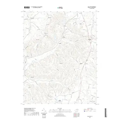
2019 Map of Halls Gap
USGS Topo · Published 2019About this map
Kings Mountain and the surrounding high ridges of Lincoln County are defined by a complex network of knobs and hollows where the headwaters of the Green River and the Fishing Creek drainage meet. This late 2010s survey documents a landscape where traditional Appalachian settlements like Blue Lick, Halls Gap, and Miracle are linked by winding roads that follow the natural topography of Greasy Ridge and Naylor Ridge. The map is particularly useful for genealogical research, as it identifies numerous small family and community burial sites such as the Sugar Loaf Graveyard, Mount Moriah Cemetery, and Waters Cemetery. The settlement pattern remains largely rural, with clusters of development at Turnersville and Highland situated among the deeply carved valleys of Peck Hollow and Boneyard Hollow.
Find a feature on this map
90 named features on this map. Tap any name to fly to it.
Don’t see what you’re looking for? This feature index may not catch every label — zoom into the map to look around manually.
Map Details
Editions of this 2019 Halls Gap Map
This is the sole edition of this map. No revisions or reprints were ever made.
Other maps of this area

1905 · Harrodsburg
USGS Topo · 1:125,000

1952 · Halls Gap
USGS Topo · 1:24,000

1952 · Eubank
USGS Topo · 1:24,000

1952 · Crab Orchard
USGS Topo · 1:24,000

1952 · Hustonville
USGS Topo · 1:24,000

1952 · Lancaster
USGS Topo · 1:24,000

1952 · Yosemite
USGS Topo · 1:24,000

1952 · Stanford
USGS Topo · 1:24,000

1952 · Junction City
USGS Topo · 1:24,000

1952 · Woodstock
USGS Topo · 1:24,000